Case 3: Multispectral Drone Mapping for Citrus Canopy Stress & Mites
How DJI Mavic 3M multispectral aerial imagery detected clogged drip emitters and cryptic spider mite outbreaks across 80 acres of navel oranges.
Agronomic & Operational Challenge
Kings River Citrus Packing League in Reedley, CA faced severe hidden water stress across an 80-acre block of mature Washington navel oranges.

Manual row inspection took three full working days, by which time clogged sub-surface micro-emitters had caused localized leaf desiccations and triggered an explosive two-spotted spider mite infestation.
Technical Intervention & Methodology
Ashford Valley drone technicians flew automated grid missions with a DJI Mavic 3M multispectral drone at 60 meters above ground level, capturing green, red, red-edge, and near-infrared reflectance.
Using Pix4Dfields, the team processed Normalized Difference Red Edge (NDRE) and Optimized Soil-Adjusted Vegetation Index (OSAVI) layers to identify sub-visual chlorophyll stress.
Quantified Commercial Outcome
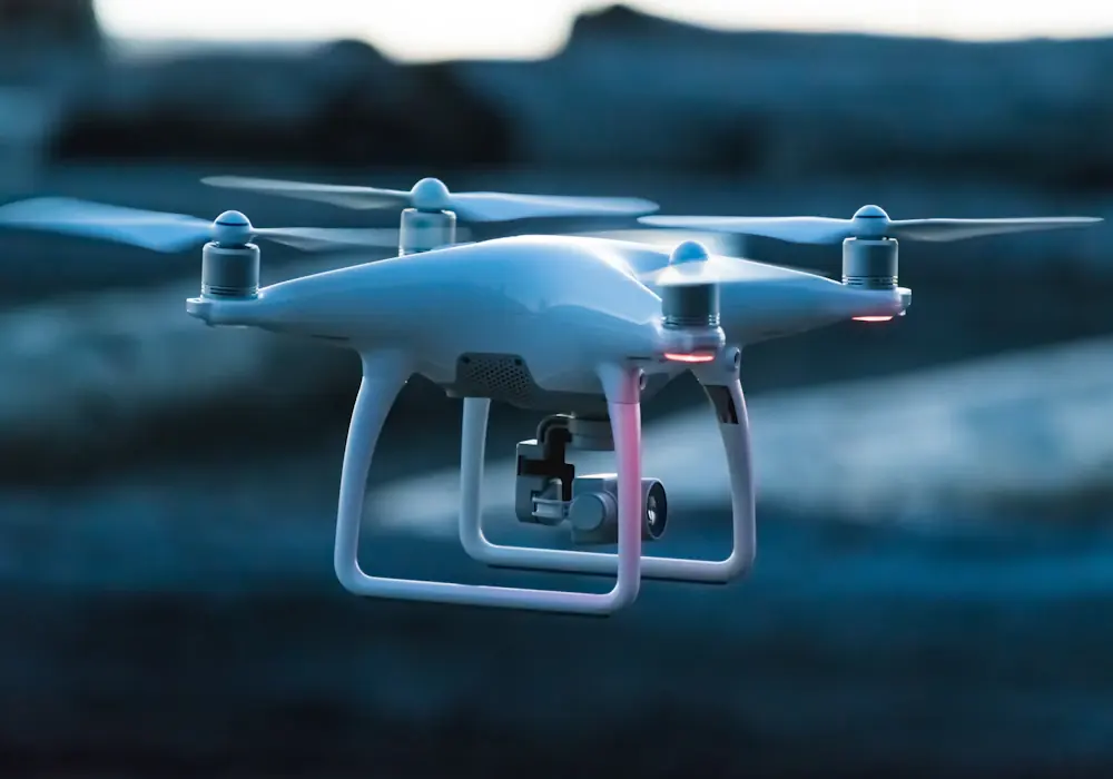
The spectral orthomosaic isolated two distinct irrigation lateral breaks and three localized spider mite hotspots within 18 minutes of flight completion.
Maintenance crews flushed the plugged lines and released predatory mites (Neoseiulus californicus), preventing an estimated $85,000 in canopy dieback and fruit drop.
Download Authoritative Field Dataset
Dataset records GPS canopy coordinates, multispectral reflectances, calculated NDRE indices, and verified ground-truth soil moisture.